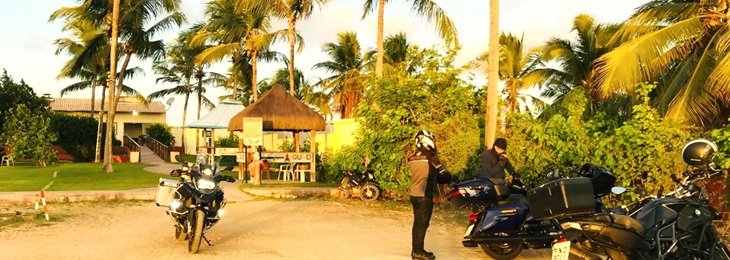
Motorrad Reisen in Brasilien
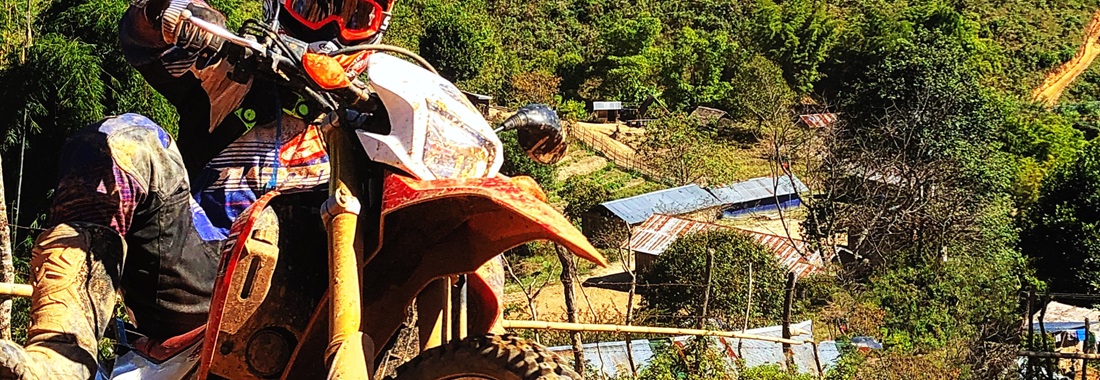
...das Geheimnis zur Freiheit!
Motorrad Reisen in Brasilien
good vibes only...
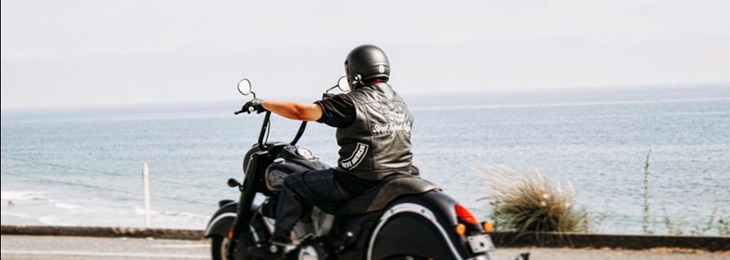
Biker Tours in Brazil
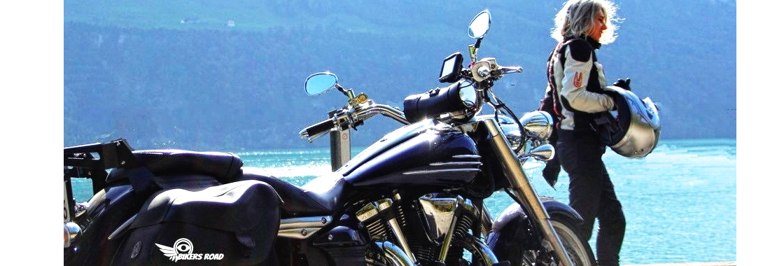
never ride a bike in stilettos and miniskirt..

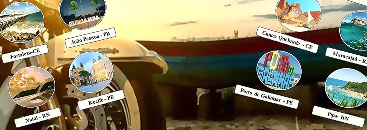
Tour de Motos no Brasil

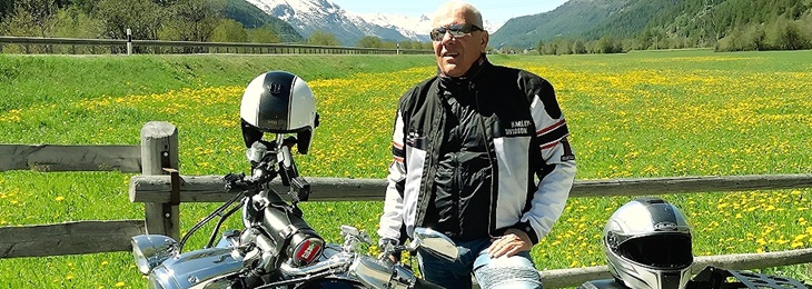
your Tour Guide, Road Captain, Manager, Mayday

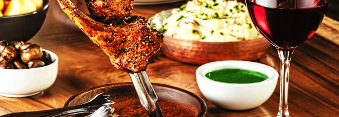
Gourmets get their money's worth..
I know I ride like a girl..so try to keep up!
Tempo 120 ok...aber unter 4 Sekunden

new challenge….or too scared?

female bikers rule brazil..

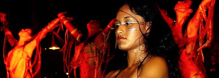
a festive period with processions, music, and dancing in the street
to contact us: info(at)bikers-road.org

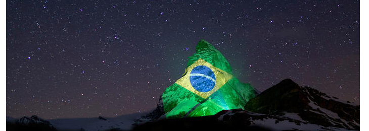
Mit der Projektion senden wir Hoffnung
und Kraft zum guten Überstehen der Krise.
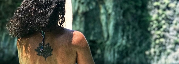
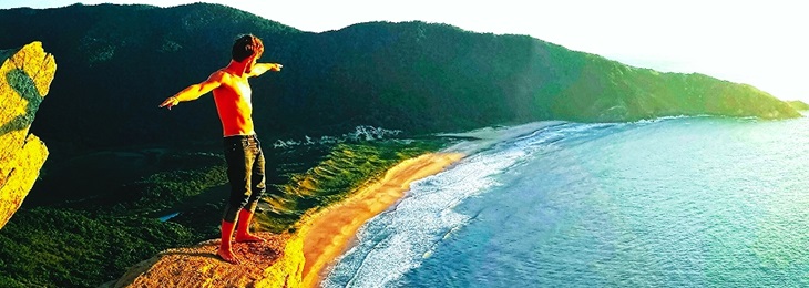
Brazil is magnificent and breathtaking, so we try to develope an understanding and create an appreciation for the natural wonders of this Nation.
The actual island of Marajó is around 40,100 km² [2] and about the same size as Switzerland. Together with neighboring islands, mostly only separated from the Marajó by rivers, it forms the Marajó Archipelago, the total area of which is given as 49,602 km².
Marajó is sometimes considered the largest river island on earth. This is opposed by the fact that the eastern parts of the island also touch the sea (Atlantic Ocean, Rio Pará bay) and the island is bounded by the estuaries of two rivers, the Amazon and the Tocantins; as a result, Ilha do Bananal, also located in Brazil and completely enclosed by the Rio Araguaia, is the largest river island.
Inner structure [edit | Edit source]
The island is crossed by 20 independent larger rivers.
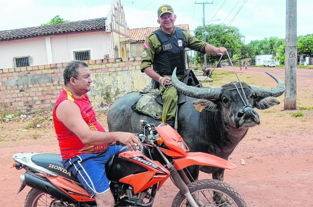
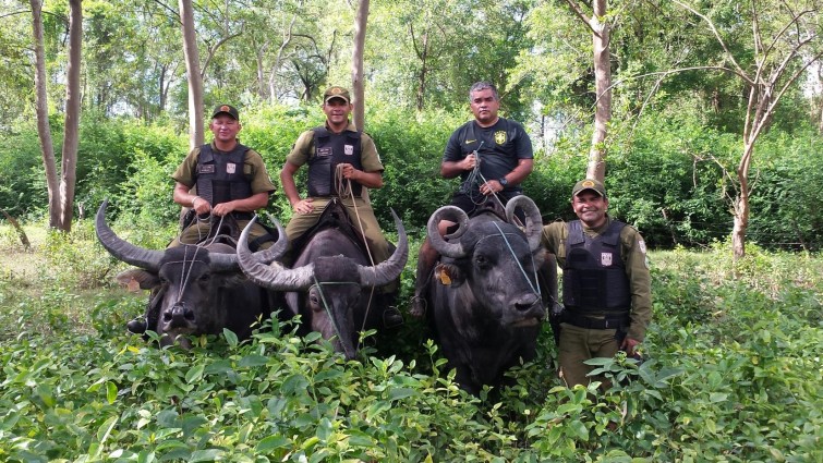
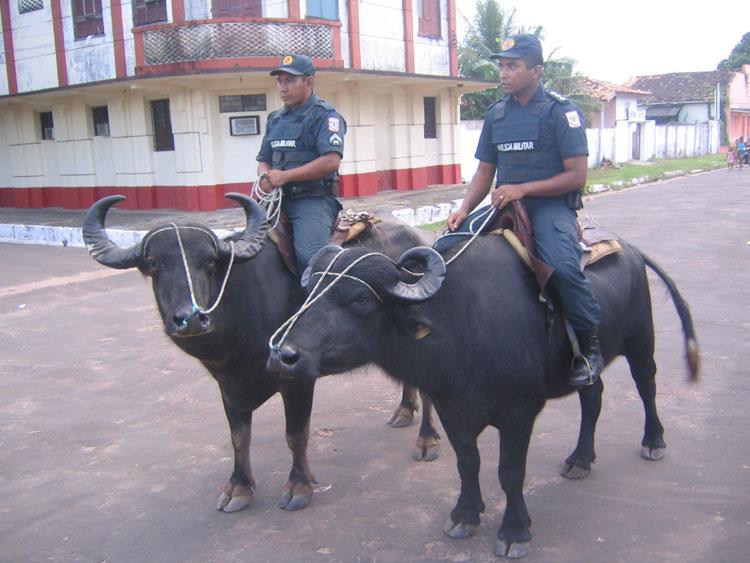
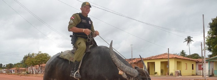
Savanna vegetation predominates in the east of the island. In these areas, livestock is mainly farmed on large fazendas. There is also the 400 km² rainwater-fed Lago Arari [4], which shrinks by 80% during the dry season. Today the island is home to large herds of domesticated water buffalo. The west of the island, on the other hand, is dominated by Várzea forests.
To the north of the large savannah areas, palm swamps can be found, which are dominated by Buriti palms (Mauritia flexuosa) and cabbage palms (Euterpe oleracea). During the rainy season, these swamps are flooded about one meter high. The ecological structure of these swamps is practically unknown.
Large parts of the island are flooded during the rainy season. The high water levels of the Amazon contribute to this in the coastal area and the heavy rainfall in the interior of the island. Due to the regular flooding, many of the settlements are built on stilts (Palafitas).
The most important localities are in the southeast of the island: Soure and Salvaterra. They have a simple tourist infrastructure and are popular because of the lonely and spacious beaches.
Surrounding waters [edit | Edit source]
The island archipelago is bounded in the northwest by the southern branch of the Amazon (Canal do Sul), on the other side, in the southeast, by the 200 kilometers into the land, about 20 kilometers wide Rio Pará Bay with the mouth of the Rio Tocantins, which opens as Baja de Marajó to the South Atlantic. In between, in the southwest, the archipelago is bounded by a network of channel-like tidal waters with alternating flow directions (Rio de Breves, Furo dos Macacos, Rio Jacaré with Baia do Vieira Grande to the north and numerous tributaries). Through these waters, especially during floods, Amazon water also reaches the Rio Pará, an average of about 3%. [5] In the northeast, finally, the open Atlantic limits the island coast.
Marajó administrative district [edit | Edit source]
The administrative district of Marajó (Mesorregião do Marajó, ie: region of medium order) with 481,000 inhabitants (as of 2010) is more than twice the size of the island itself. It extends beyond the island as most of the 16 associated municipalities (Municípios ) also include areas on the opposite mainland. All 16 municipalities have a share in the island of Marajó:
Historical map of the Amazon estuary
from Meyers Konversationslexikon 1888
3000 year old ceramic finds indicate an early high culture (the Marajoara culture, a pre-Columbian culture), which, however, had already perished at the time of the conquest. Today finds of the Marajoara culture can be viewed in the Museu Goeldi in Belém.
Most of the current residents are descendants of the Nheengaíba Indians, who were pacified by the priest António Vieira in 1659 and who later mixed with African slaves and Portuguese immigrants. Their ceramic art - from the pre-Columbian Marajoara culture - still lives on with them in an old tradition.
The Nheengaíba were a tribe that belonged to the Aruã people and came from the West Indies, where they had been displaced by the Caribs. Its dialect diversity initially led to the assumption that there were many independent tribes, such as the Aruaque, Mapuá, Anajá, Guajará, Mamaiauá, Sacará and Juruna. [6]
The Aruaque were skilled potters. In addition to commodities such as pots, they also made vases, funeral urns, children's toys and other things. Their ceramics were mostly decorated in three colors: red, black and white. They lived on piled up mounds of earth, the sambaquis, which also served as burial places for their relatives, who were buried there in decorated urns. Like many Brazilian Indian tribes and peoples with an estimated 4 million members, the last Aruaque disappeared in the 18th century and with them their languages.
Fauna [edit | Edit source]
Scarlet ibis (guarás) on Marajó
Marajó has a diverse fauna. Birds in particular can be found on the unforested campos alagados (floodplain)
Source: Wikipedia Marajó